Where Geospatial Expertise
Meets Mineral Opportunity
Ellis Park Geospatial delivers advanced GIS, AI-driven spatial analysis, and deep mineral exploration knowledge — helping project generators, explorers, and investors make faster, better-informed decisions.
Generated
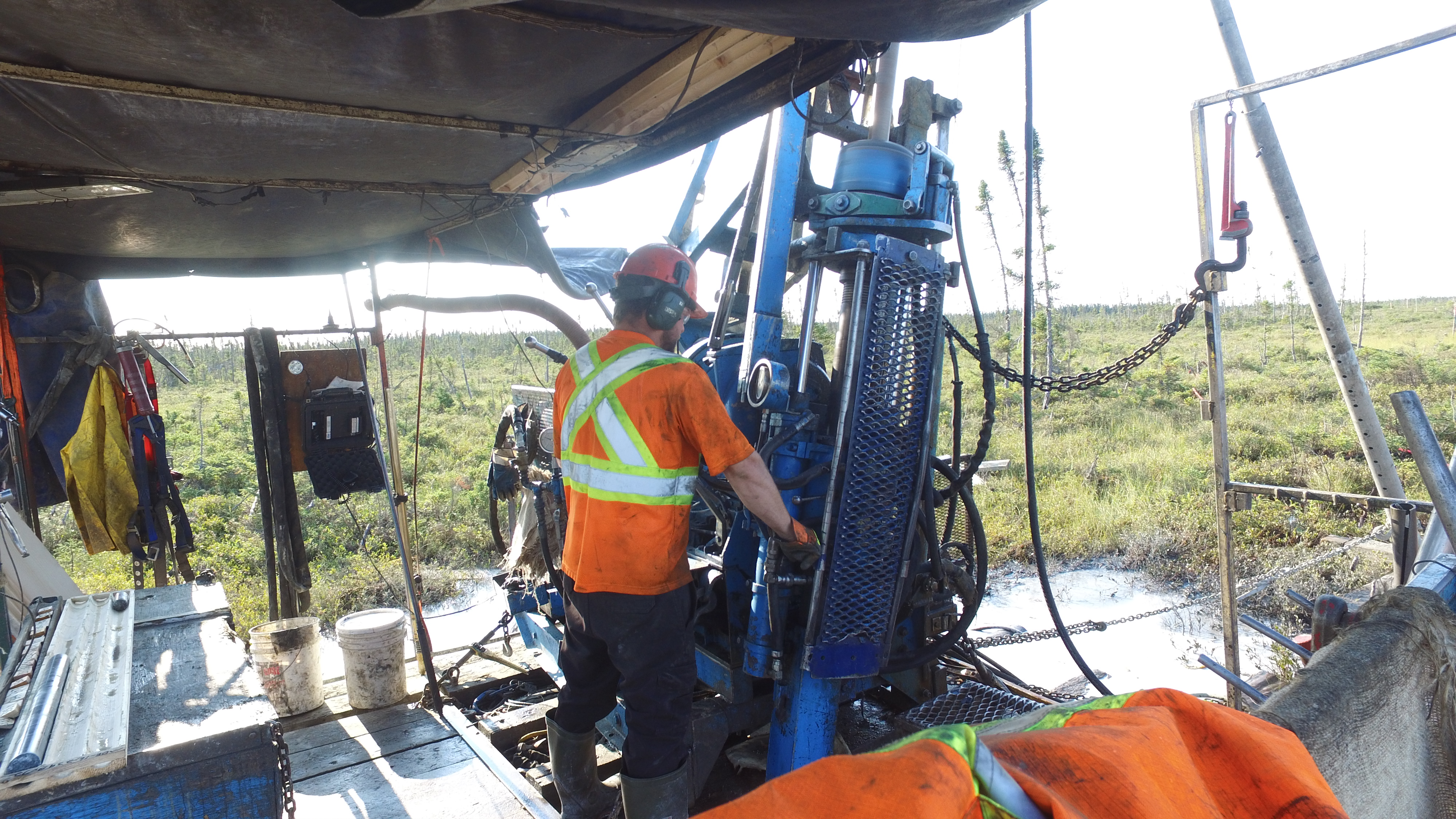
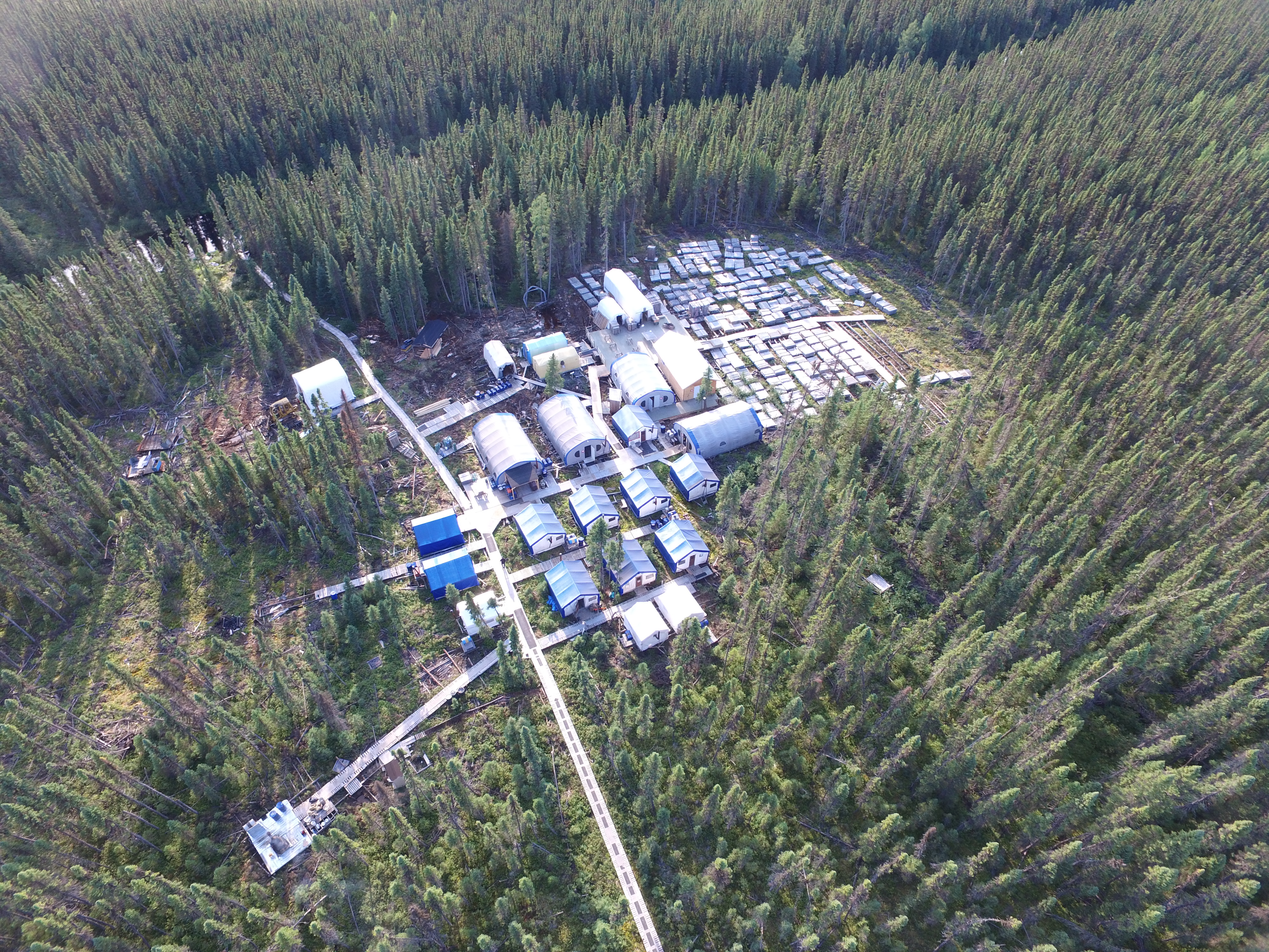
Mining Experience
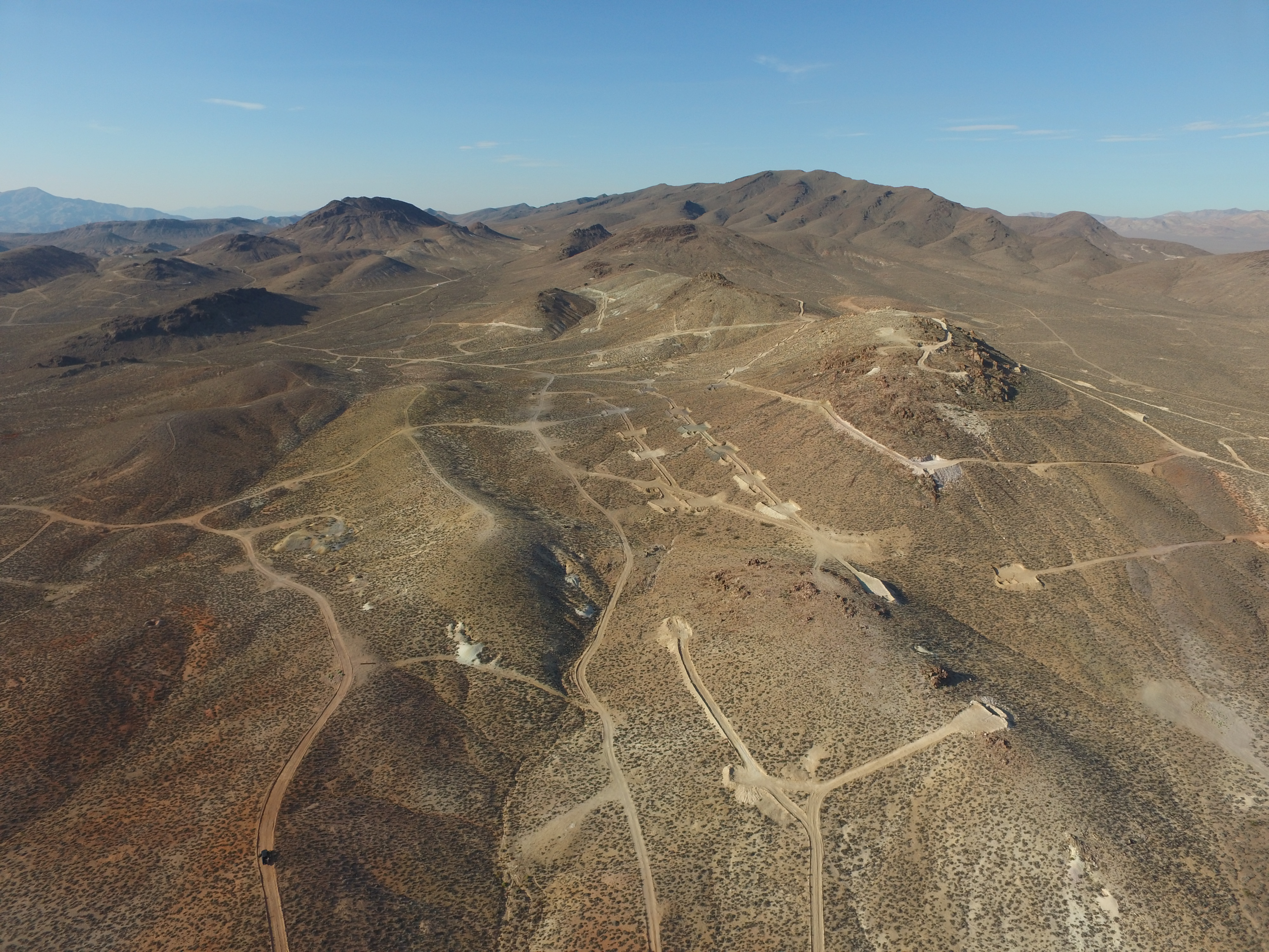
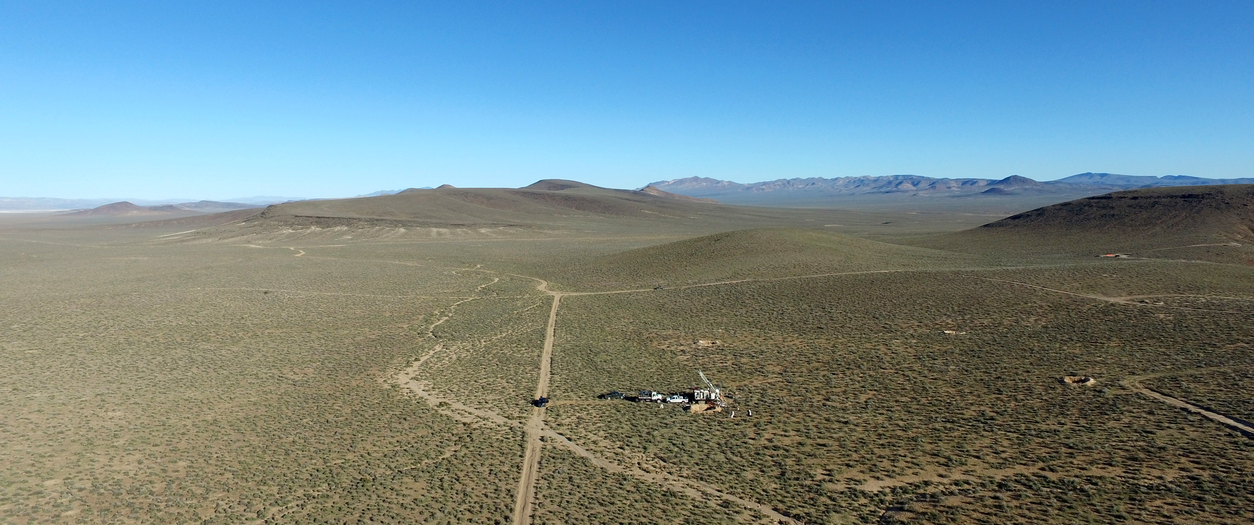
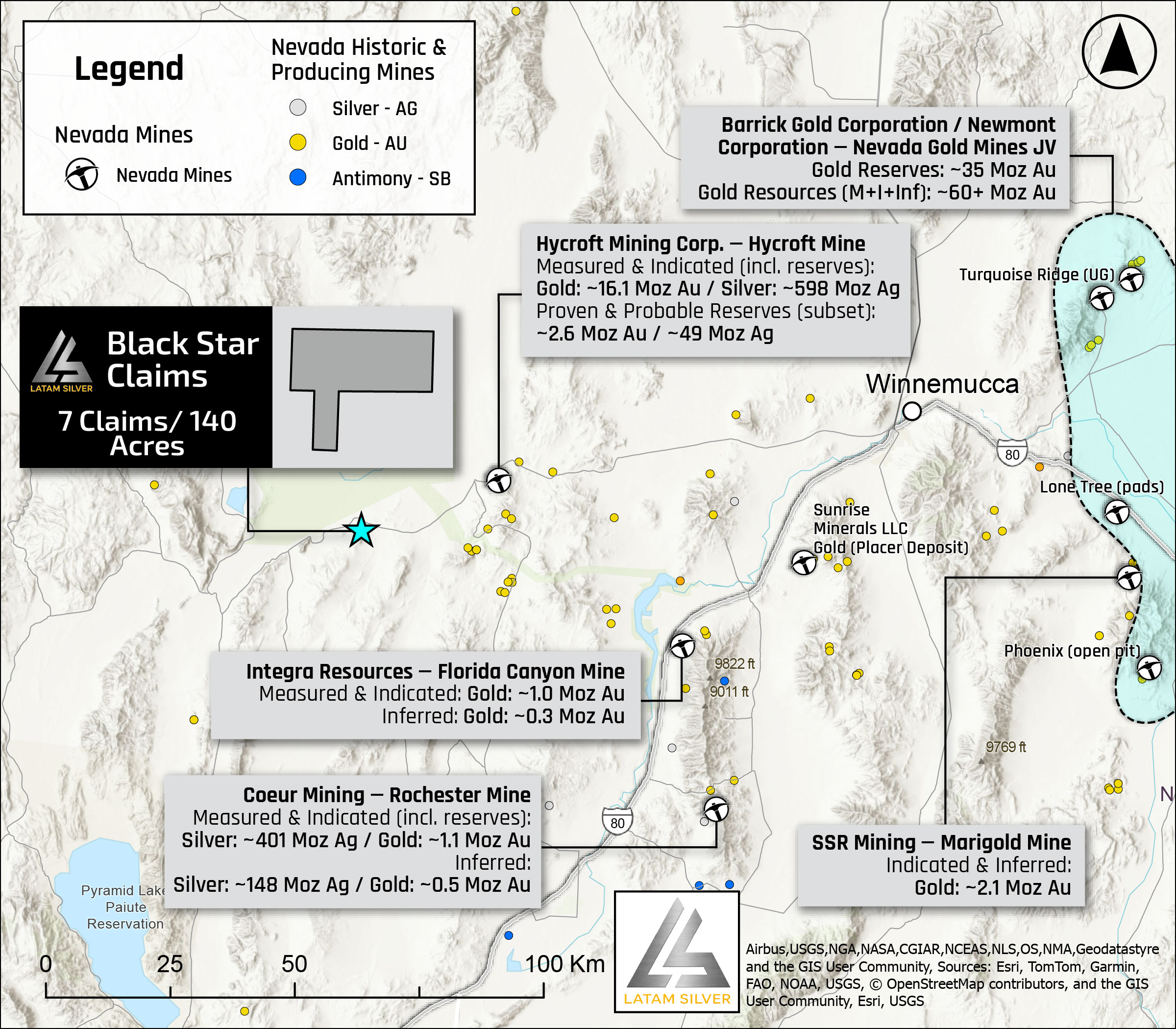
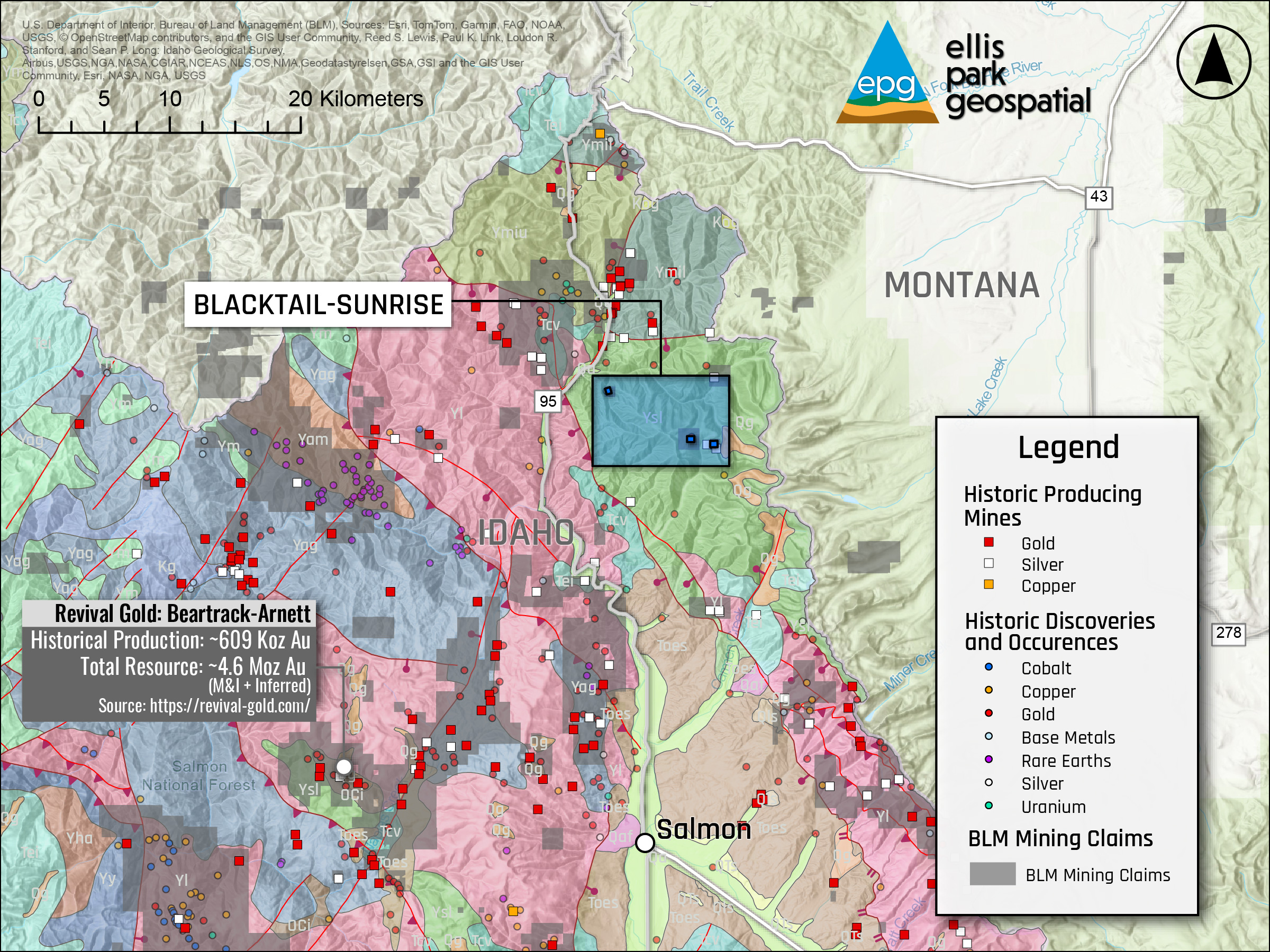
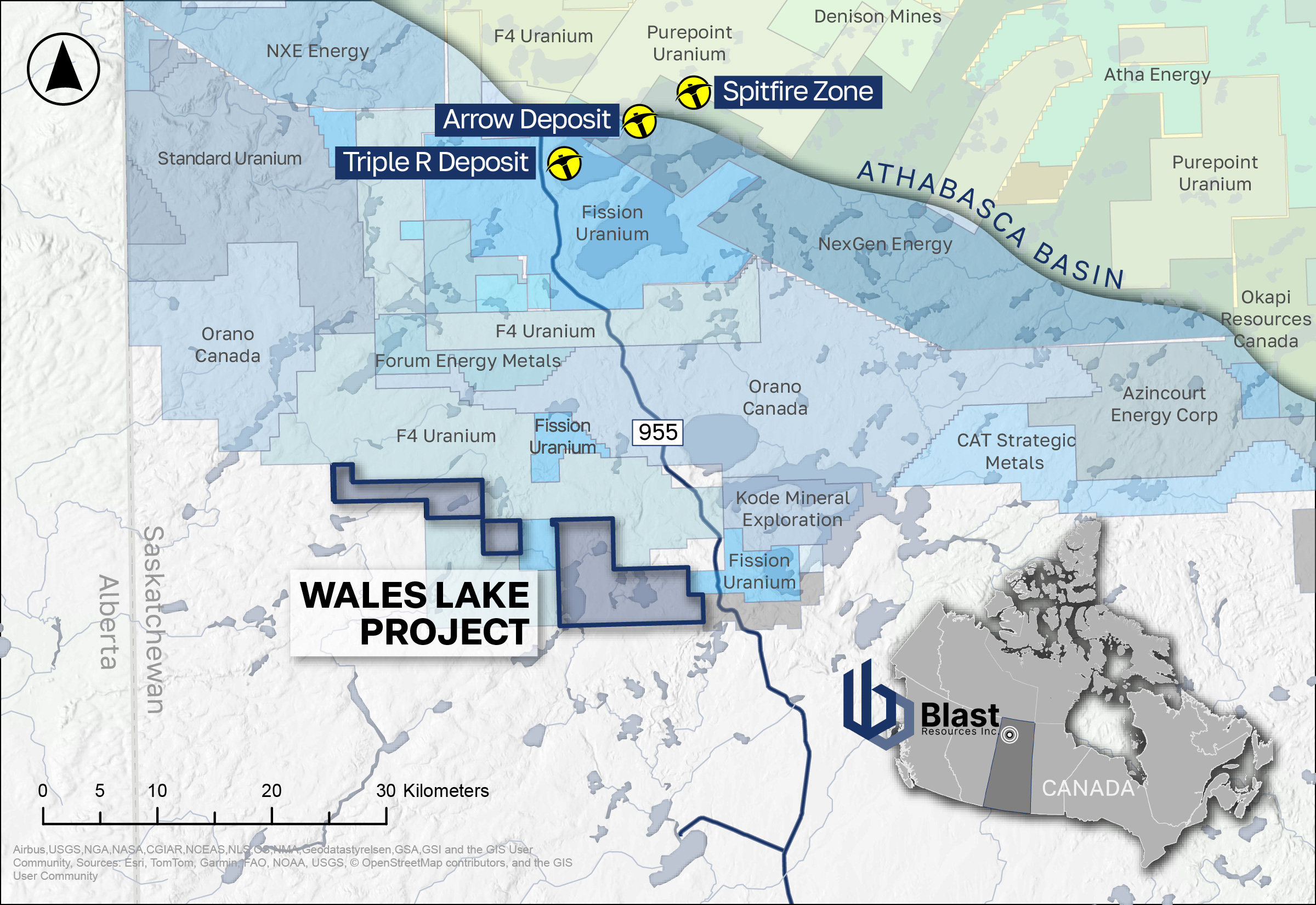
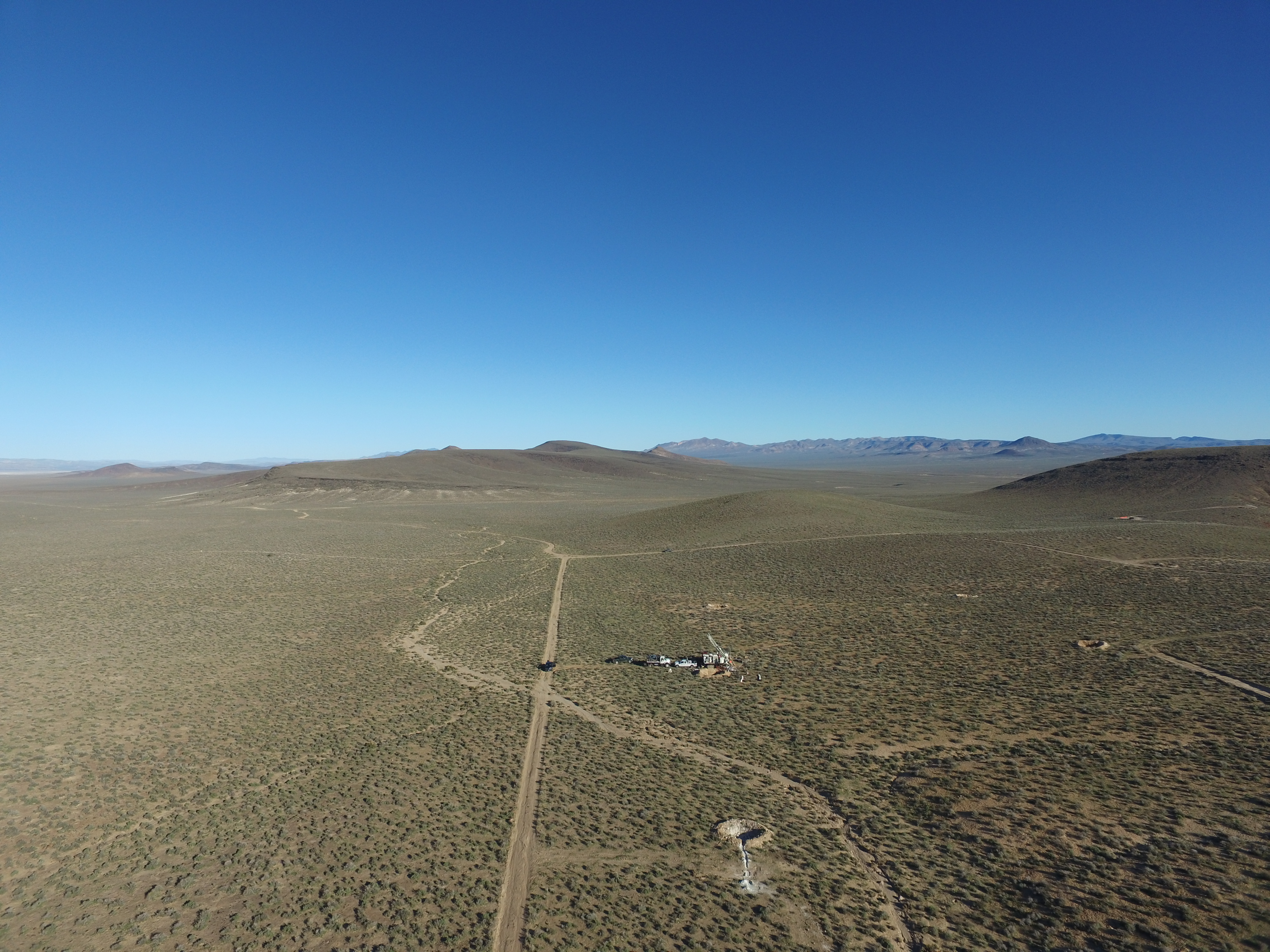
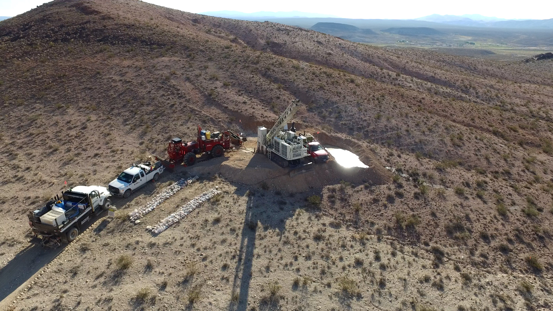
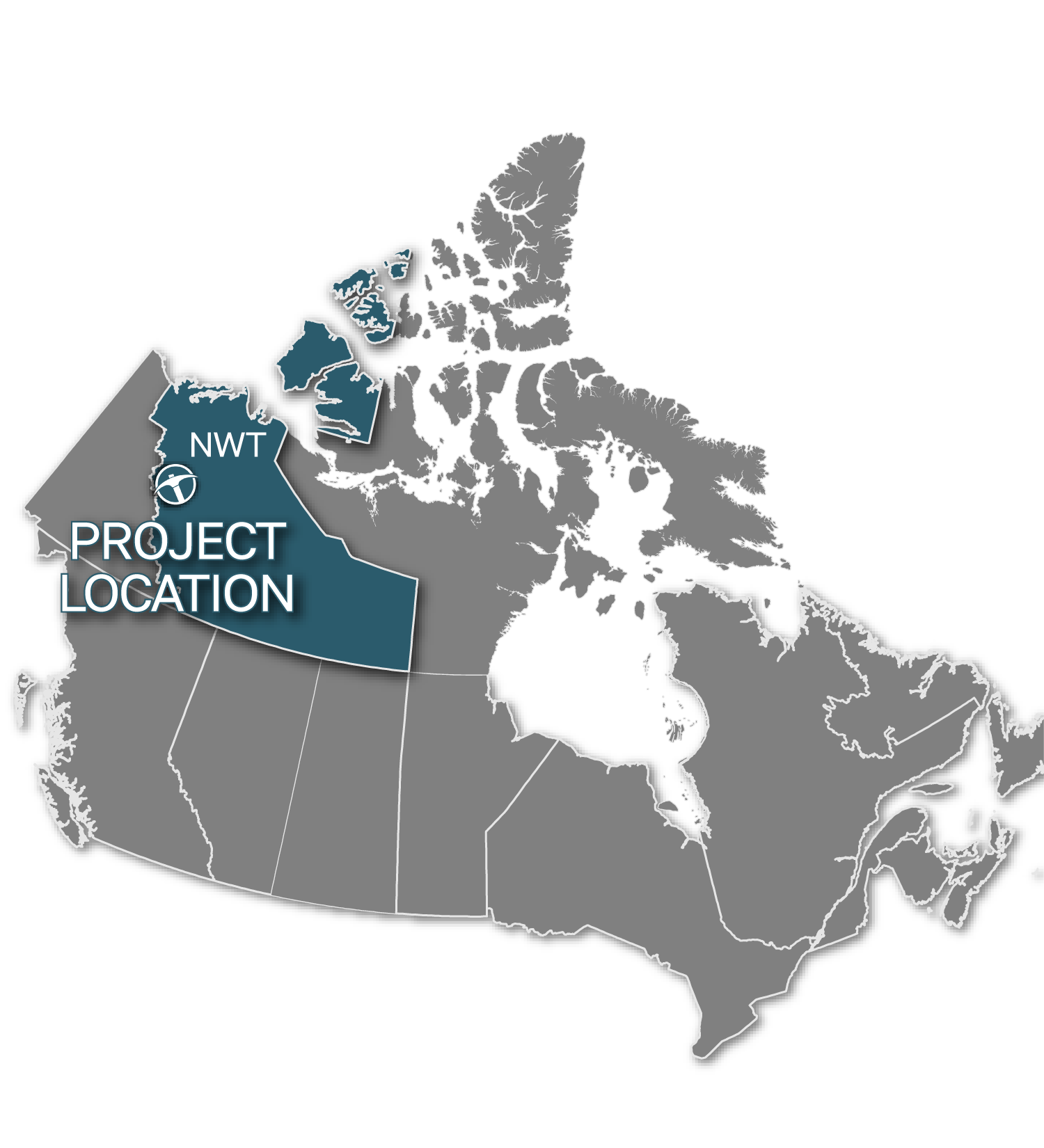
NV · AZ · NM
Spatial Intelligence,
Exploration Knowledge
Ellis Park Geospatial is led by Ken Kuiper — a senior GIS specialist with 20+ years of geospatial and mining industry experience, mining entrepreneur, and project generator operating at the intersection of spatial analysis, mineral exploration, and business strategy.
Unlike a generic mapping firm, EPG combines technical GIS depth with real exploration know-how: drill results, land packages, permitting realities, deal structures, royalty terms, and what it actually takes to move a project from grassroots to transaction.
From early-stage targeting through investor-facing materials and project sale, EPG delivers spatial intelligence that drives decisions — not just maps that look good.
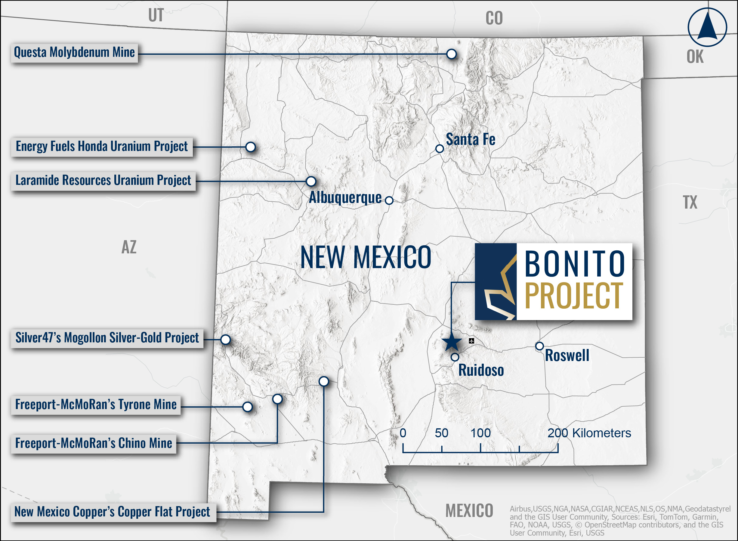
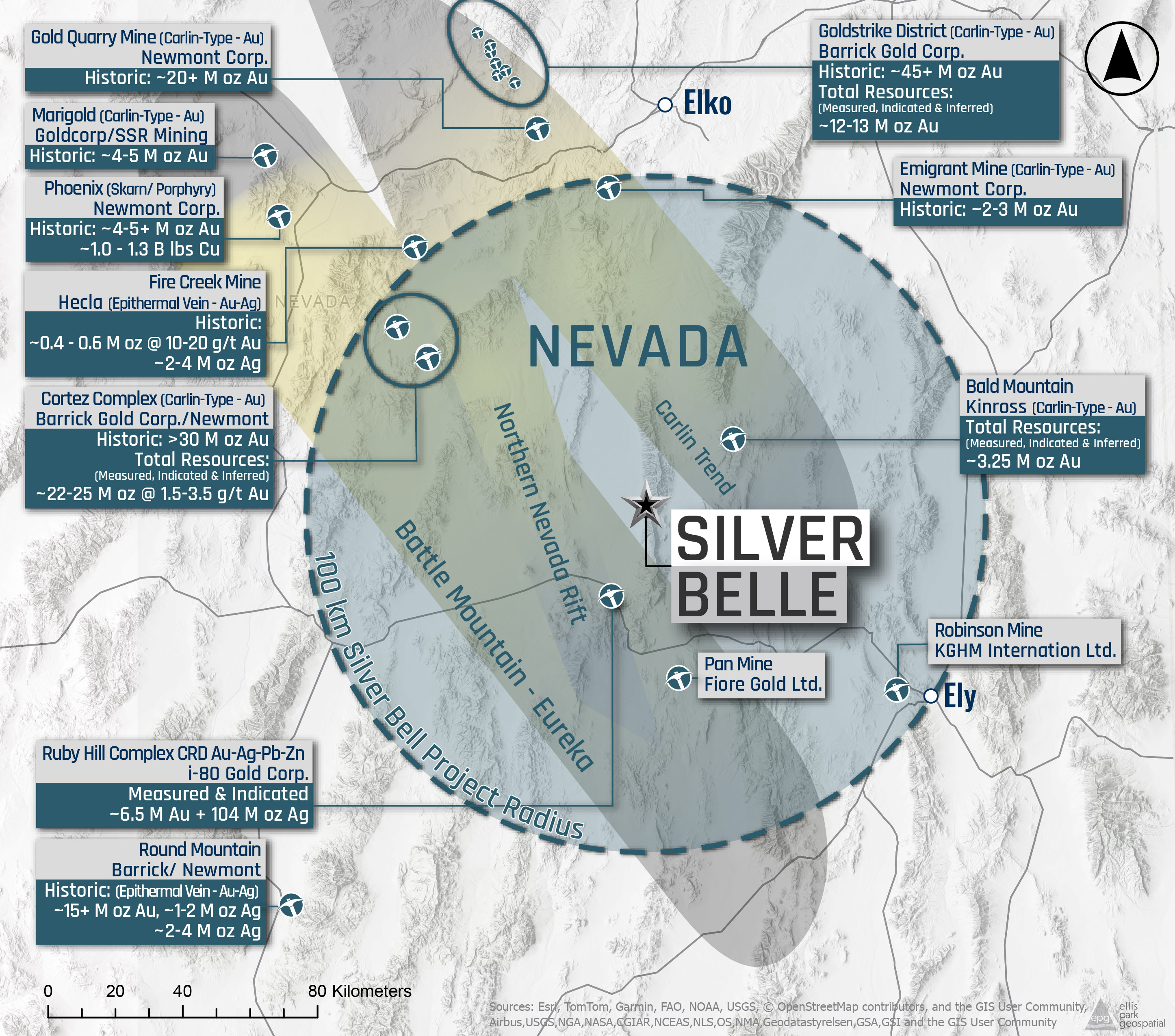
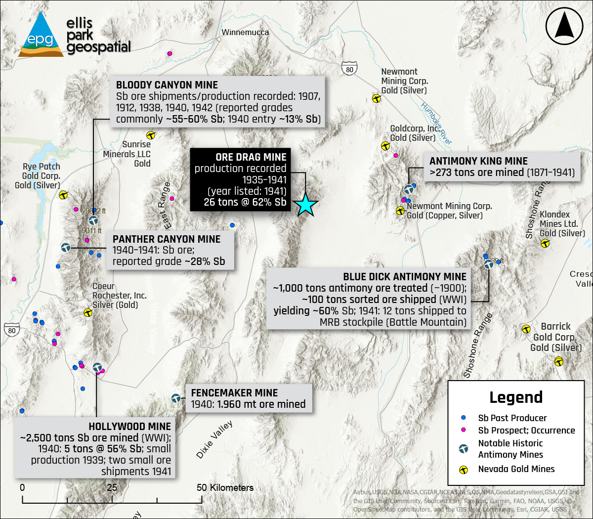
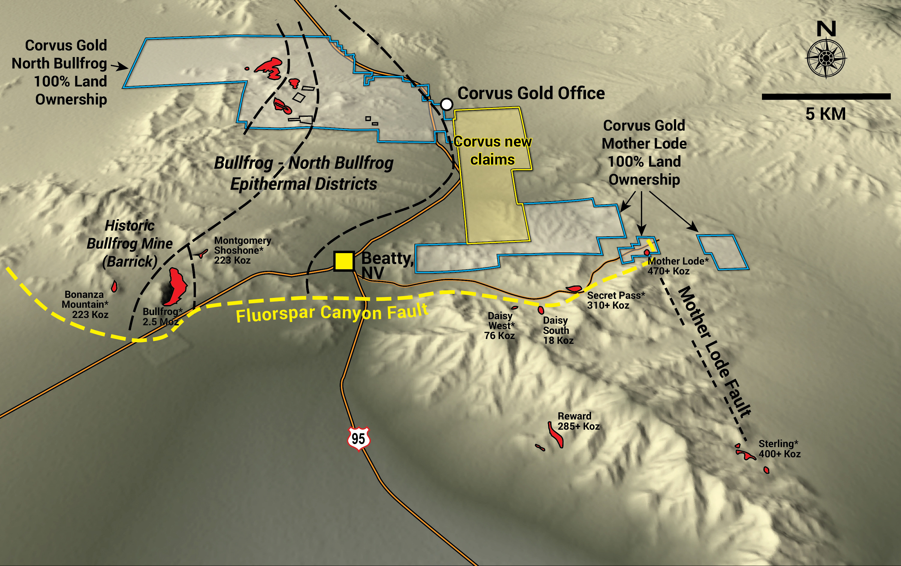
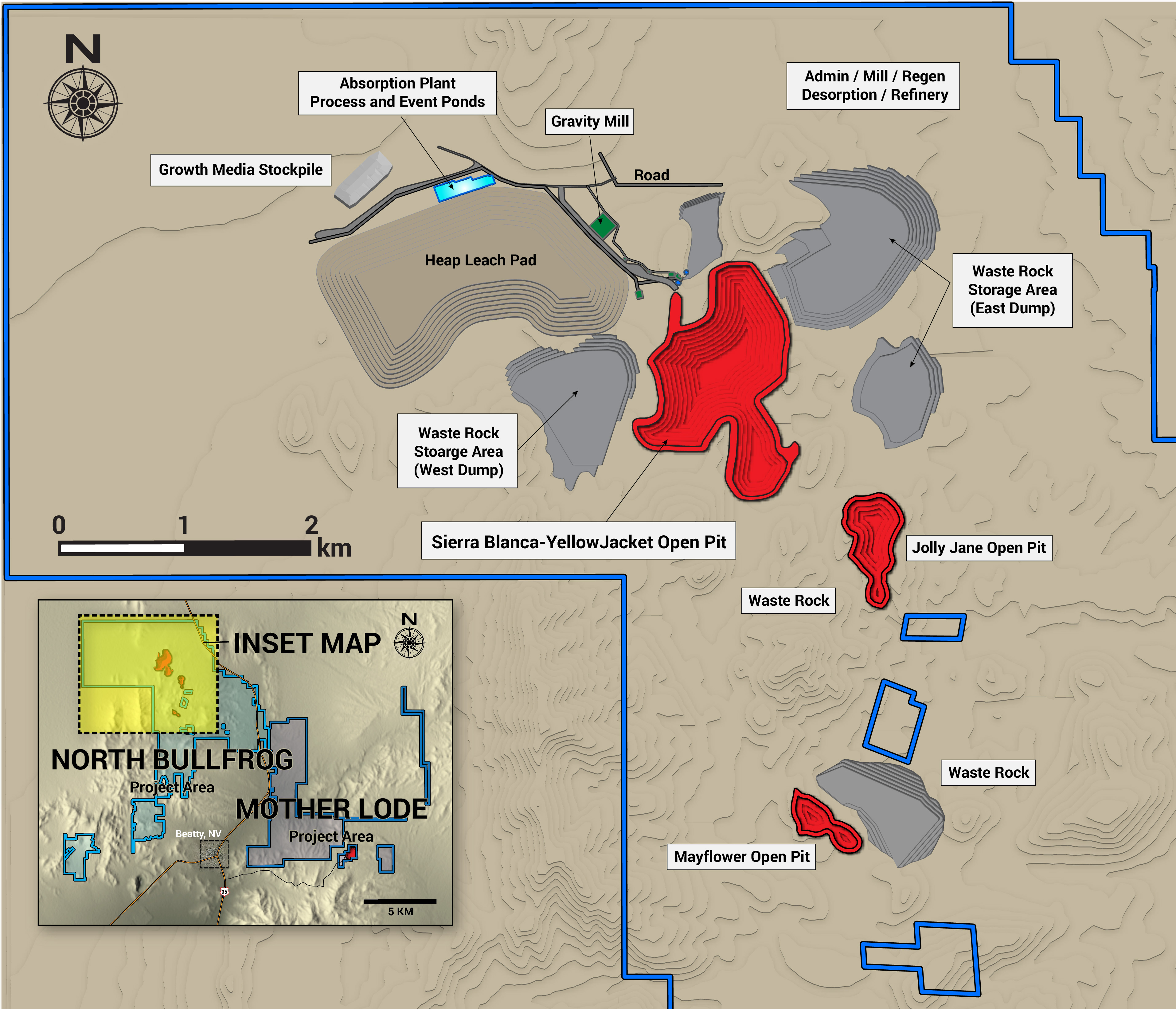
Through our partnership with HMK Mining, we have generated and transacted over 25 mineral exploration projects since 2022, working with public companies across Quebec, British Columbia, and the western United States.
Full-Spectrum
Exploration Services
The Future of
Exploration Intelligence
EPG is building the next generation of exploration support tools — AI-powered workflows that combine our spatial data expertise with large language models and custom systems trained on mineral exploration knowledge.
The result: faster project analysis, better-informed targeting decisions, and a significant competitive edge for the teams we work with.
25+ Projects.
Real Transactions.
Since 2022
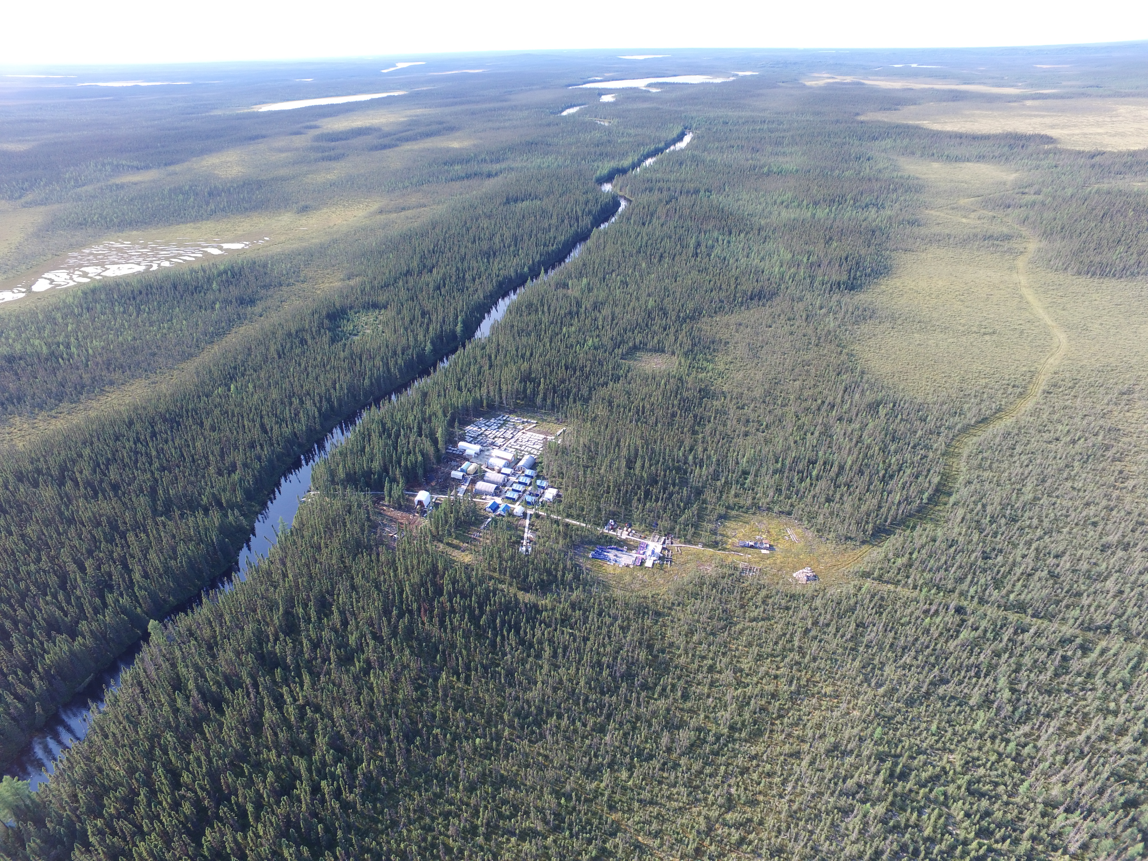
Mining Experience
NV · NV · NV · NM
QC · BC · Western U.S.
Work That Speaks
for Itself
From Data to Decision
Every project we touch moves through a disciplined process — combining spatial intelligence, technical rigor, and market-ready packaging to create real value.

Trusted by Explorers
and Capital Markets
Let's Build Something
Worth Finding
Whether you have a project that needs packaging, a land position to evaluate, or you're looking for a geospatial partner who understands the mining business — we'd like to hear from you.
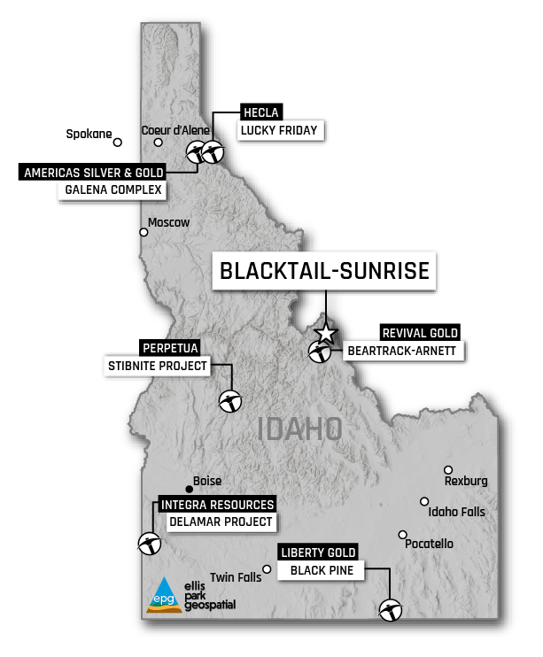
Companies We've
Worked With